Technical Imaging
Mapping & 3D Modeling
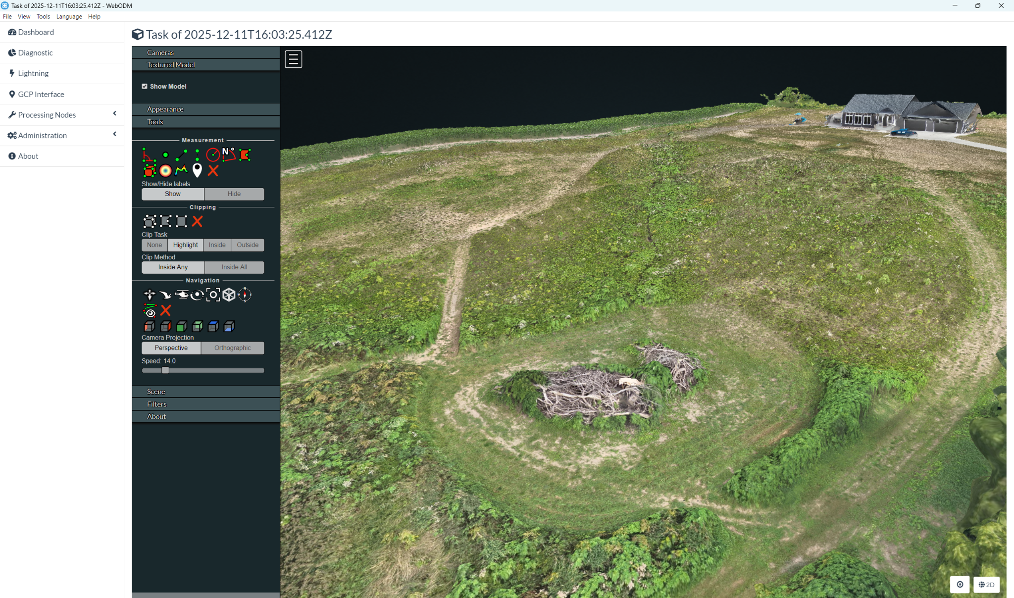
Photogrammetric outputs for existing-condition visualization, project communication, planning, and GIS workflows.
What we can help with
- Orthomosaic imagery and point clouds
- Elevation information and 3D models
- Site documentation and planning context
- Deliverable formats scoped to your workflow
Final scope, deliverables, and schedule are confirmed with your quote.
Explore transparent pricing →Technical Imaging supports documentation, visualization, measurement reference, and planning. It is not licensed surveying, engineering, certified inspection, or professional diagnosis. Read the full disclaimer →
LET’S TALK ABOUT YOUR PROJECT